We had some very strong tail winds flying to San Francisco and the flight only took 11.5 hours.
We were met at the airport by Colin and travelled (via a family stop in Sacramento, to meet Kathy and pick up Natalie) up to South Lake Tahoe on the Califonia-Nevada State boundary.
We then had an easy day to acclimatize to the altitude change, about 6000.'
On Sunday Colin and Natalie drove us to the Mount Tallac trailhead in the Desolation Wilderness National Park where we arrived about 8.45 am. Shiel and I then started our ascent of Mount Tallac.
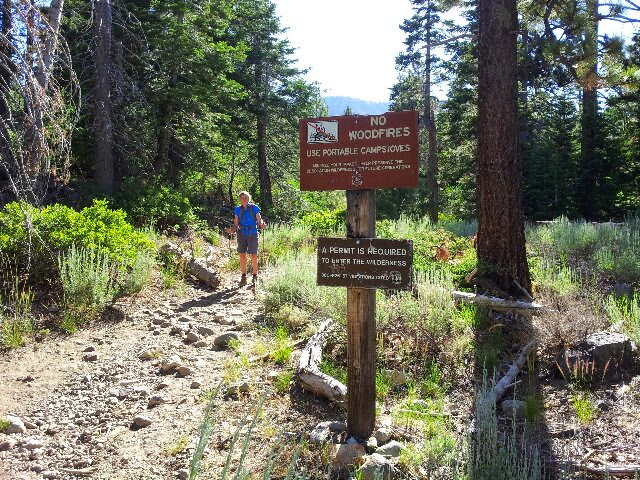
The photograph below shows the signs at the trail head (taken on the return trip).
The photo below shows Shiel massaging painful knees on the descent below Emerald Lake. Falling Leaf Lake is in the foreground with Lake Tahoe behind it.
Shiel heading for the saddle above Cathedral Lake. We took a route leading above the small patch of snow in the top/centre of the picture.
Shiel standing at the track junction behind the summit of Mount Tallac. The track on the right leads around to the summit. The track to the left leads to the Pacific Crest Trail.
Summit of Mount Tallac with "Stars and Stripes" flag. Probably left after an ascent on July 4.
S&R sitting on the summit.


No comments:
Post a Comment